PRECISION FROM ABOVE.INTELLIGENCE ON THE GROUND.
Certified aerial intelligence, industrial inspection, precision RTK topography, cinematic audiovisual production, and international film fixer partner in Tunisia and North Africa.
Trusted by Industry Leaders, Utilities & International Film Crews
3 Core Pillars of Operational Excellence
Engineered for enterprise credibility, industrial reliability, and cinematic mastery across North Africa.
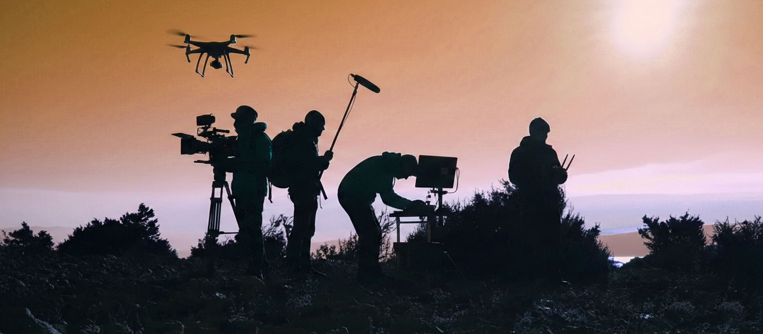
Audiovisual & Creative Production
From commercials and luxury brand campaigns to cinema features. High-resolution ProRes capture, single-take dynamic FPV, and immersive gigapixel virtual tours via SkyCam AIR.
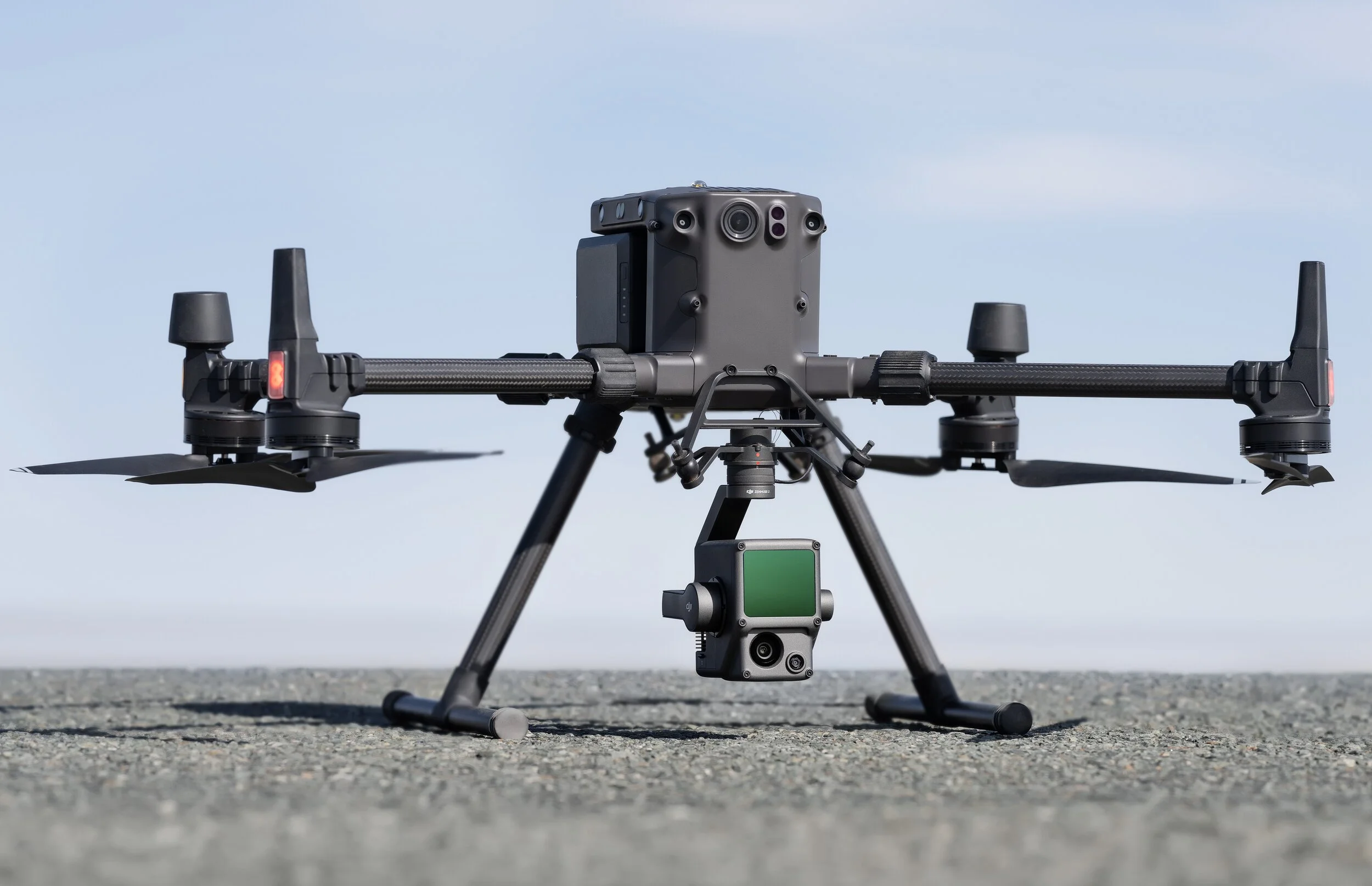
Technical Expertise & Geospatial Data
Centimeter-accurate photogrammetry, radiometric FLIR inspection for solar and energy grids, ATEX-aware oil & gas audits, bathymetric surveys, and Revit-compatible BIM modeling.
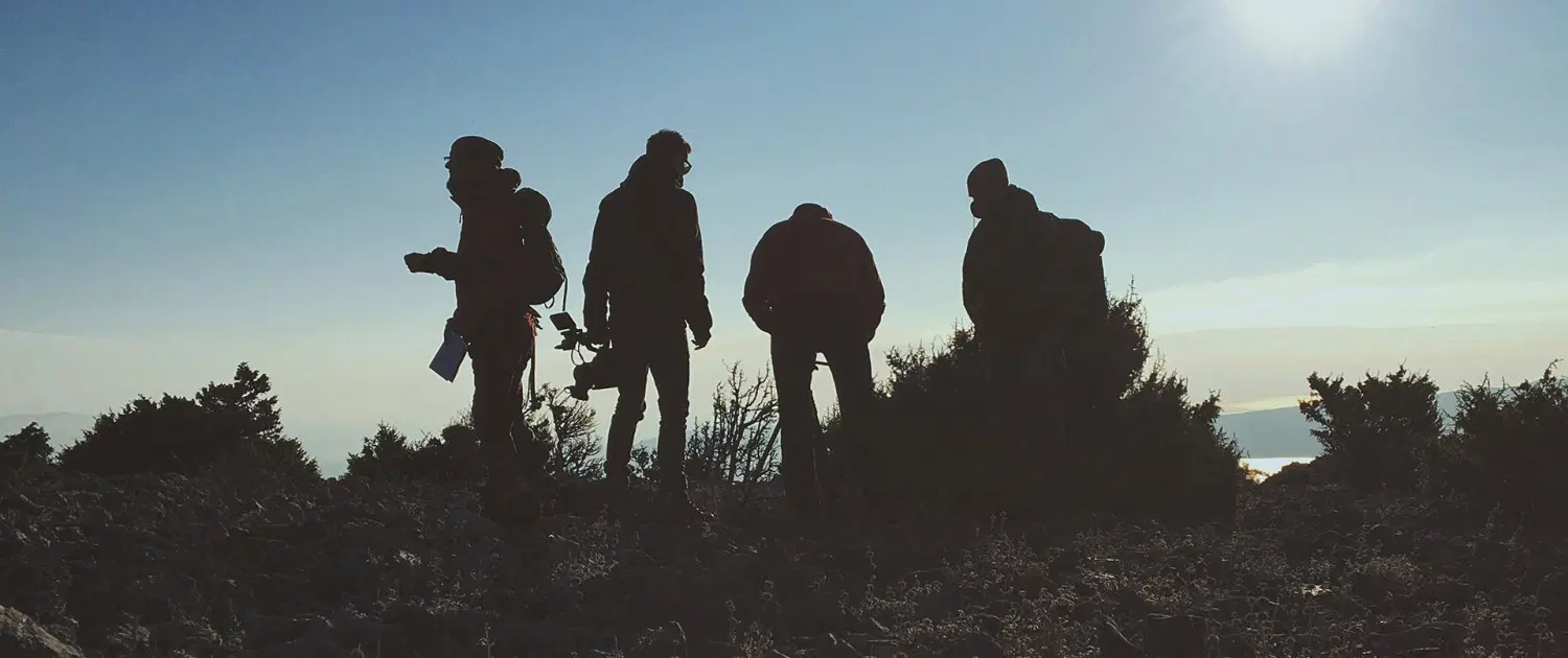
Film & Drone Fixer in Tunisia
Complete local production partner for foreign crews. Turnkey flight and filming permits from Civil Aviation (DGAC) and Defense Ministry, customs ATA Carnet processing, 4x4 desert scouting, and Cineflex helicopter mounts.
Standard Deliverables & Enterprise Compatibility
Calibrated technical data and files ready for immediate integration into CAD, GIS, BIM, and post-production workflows.
Cinema & Commercial Video Masters
5.4K / 4K ProRes 10-bit • RAW DNGHigh dynamic range footage ready for color grading and broadcast television, theatrical cinema, and global streaming.
Thermal Audits & Defect Reports
GeoTIFF R-JPEG • Georeferenced PDF ReportsPrecise pinpointing of solar panel hot spots, insulation loss, and critical infrastructure without shutdown.
Centimeter Orthophotoplans & Mapping
1 cm Accuracy • Lambert / WGS84 GridsDirectly importable into AutoCAD, Covadis, and Civil 3D for earthwork calculations and volume estimation.
Digital Elevation Models DTM/DSM & 3D Clouds
LAS / LAZ Point Clouds • DXF ContoursStockpile volume quantification, quarry survey tracking, and seamless GIS integration (QGIS / ArcGIS).
Interactive 360° Virtual Tours
HTML5 Cloud Portal • 12K SphericalPowers our interactive SkyCam AIR cloud portal with embedded technical datasheets and no app required.
Dynamic FPV Continuous One-Takes
4K 120fps GyroFlow • D-Log 10-bitSeamless indoor-outdoor single takes for immersive walkthroughs of industrial sites, luxury resorts, and sports.
Industries & Sectors We Serve
Tailored aerial solutions addressing the specific requirements of 9 strategic industries.
Industry & Oil & Gas
Offshore/onshore asset inspection, flare stacks, pipelines, ATEX sensitive sites.
Construction & Engineering (BTP)
Earthwork cut/fill volume calculation, site telemetry, BIM 3D models.
Tourism & Hospitality
Luxury hotel marketing, promotional 4K / 5.4K imagery, interactive 360° tours.
Film, Advertising & Cinema
Feature films, TV commercials, high-speed cinema FPV, full fixer support.
Agriculture & Farm Estates
High-resolution crop boundary mapping, estate surveys, and tree inventory counting.
Heritage & Archaeology
3D preservation, photogrammetric digital reconstruction of historic ruins.
Energy & Utilities
Solar PV farm inspection, wind turbine blade analysis, high-voltage lines.
Environment & Coastal
Coastal erosion telemetry, marine habitat surveys, bathymetric mapping.
Events & Sports Coverage
Live broadcast feeds, high-velocity rally coverage, cultural festivals.
Featured Case Studies & Field Operations
A selection of technical inspections, engineering mappings, and cinematic productions.

100 MW Solar PV Farm Radiometric Thermal Audit
Automated radiometric FLIR inspection detecting defective bypassed diodes, hot spots, and string disconnects with GPS-tagged reporting.

Highway Infrastructure RTK Topography & 3D Model
Centimeter photogrammetric survey across 45 km corridor. Delivered DTM/DSM terrain models and cut/fill volumes for civil engineering teams.
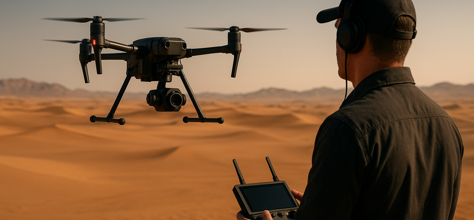
Luxury Hospitality & Automotive Commercial Campaign
End-to-end aerial cinematography and local fixer facilitation: full DGAC/Military permits, desert 4x4 transport, and 5.4K/FPV aerial capture.

SkyCam AIR — Interactive 360° Aerial Virtual Reality
Interactive gigapixel aerial tours allowing remote clients and stakeholders to explore properties, archaeological sites, and industrial assets.
Our 5-Step Operational Methodology
From initial feasibility to certified deliverable handoff under strict flight & HSE protocols.
Project Analysis & Sensor Selection
We analyze site coordinates, precision tolerances, deliverables requirements, and identify required sensor payloads.
Regulatory Clearances & Planning
Direct submission and approval with Civil Aviation (DGAC), Ministry of Defense, and local authorities.
Drone Data Acquisition On-Site
Deployment of certified pilots, automated RTK flight grid paths, and strict HSE site protocols.
Processing & Multi-Sensor Analytics
Photogrammetry cloud computation, FLIR radiometric calibration, 3D BIM modeling, or ProRes 10-bit grading.
Delivery & Certified Engineering Reports
Instant cloud access to georeferenced orthomosaics, CAD/GIS exports, and certified engineering PDF reports.

SkyCam AIR — Proprietary 360° Virtual Reality Platform
SkyCam AIR allows international clients, real estate investors, and engineering managers to virtually explore sites in immersive 360° high definition directly in the browser.
Ready to Elevate Your Operations With Certified Aerial Intelligence?
Get in touch with our technical team today for a tailored quote, regulatory consultation, or production logistics planning in Tunisia and North Africa.