Secteur d'Activité Dédié
Agriculture & Farm Estates
High-resolution aerial mapping, parcel boundary surveys, surface calculations, and farm inventories.
Analyse & Contexte
Contexte & Enjeux du Secteur
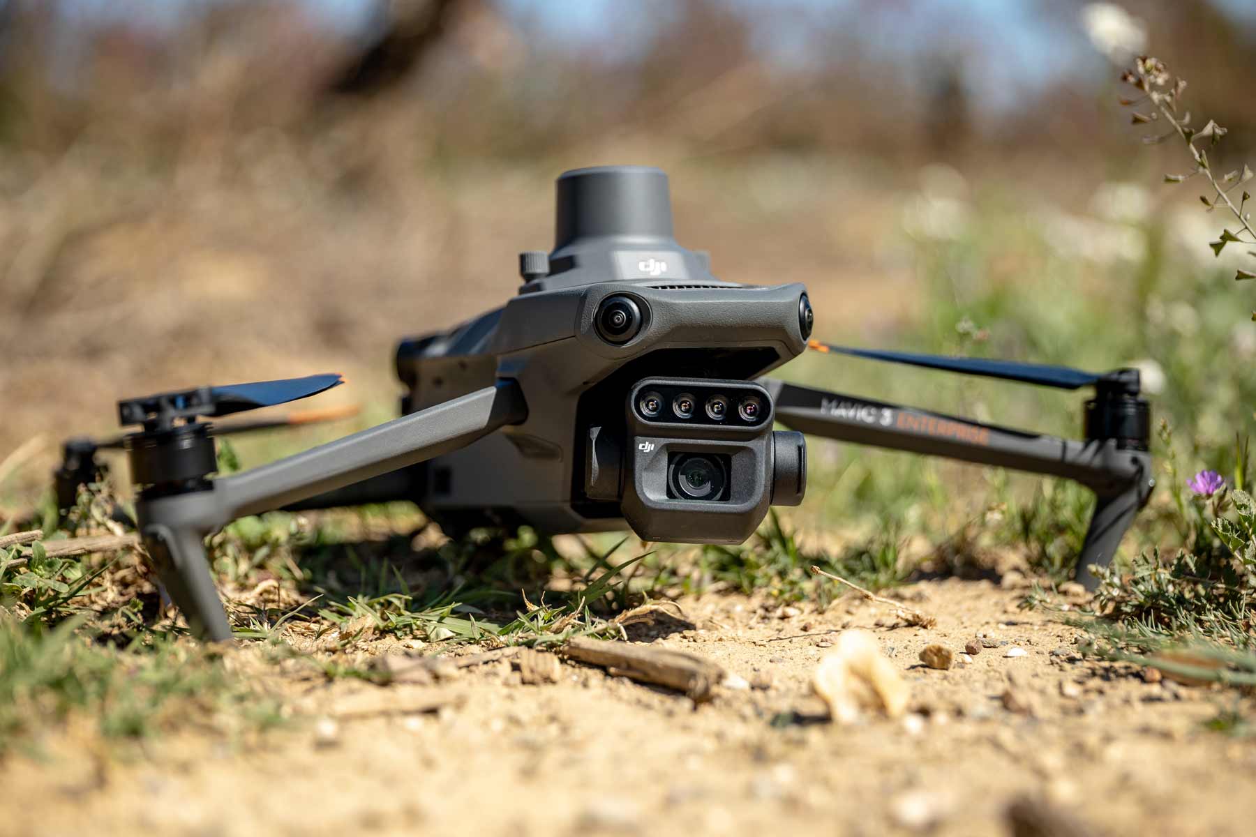
SkyCam supports agricultural estate managers and agribusiness investors with high-resolution aerial photogrammetry, tree counting (olive groves, palm trees), irrigation layout inspection, and georeferenced boundary mapping.
Défis & Contraintes Rencontrés
- Inaccurate cadastral maps and vague field boundaries
- Time-consuming manual tree counting across vast olive and palm plantations
- Slow ground inspection of extensive irrigation pipelines and perimeter fencing
Réponses & Solutions SkyCam
- High-resolution georeferenced orthomosaics (GSD < 2 cm/pixel)
- Automated tree detection and canopy density mapping
- Digital elevation models for water drainage and land leveling
Livrables Métier Fournis
Orthophoto Géoréférencée GeoTIFFFichiers de Délimitation Parcellaire SIG (SHP/DXF)Rapport d'Inventaire & Comptage PDF
Expertises Recommandées pour ce Secteur
Technique
Industrial Inspection & Radiometric Thermal Imaging
Certified radiometric audits for solar PV farms, wind turbines, high-voltage power lines, and industrial building envelopes.
Consulter cette expertise
Technique
Topographic Surveys & Aerial Mapping (RTK/PPK)
Centimeter-accurate geodetic surveys, DTM/DSM elevation models, and high-resolution orthophotoplans.
Consulter cette expertise
Un projet à déployer dans ce secteur ?
Recevez une proposition technique et tarifaire sous 24h.